
Ground water pollution detection site of Hubei Xiantao
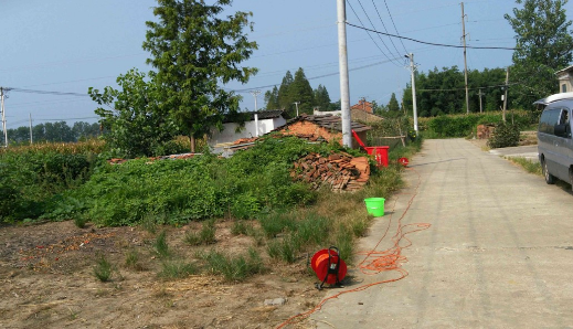
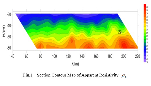
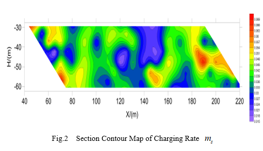
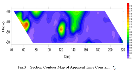
The main task of this exploration is to divide the distribution of the clay layer and sand layer in the quaternary system, to explore the distribution of the silt in the shallow clay layer, to analyze the possible causes of the groundwater pollution and to guide the deployment of hydrogeological drilling.
In the survey area, the river network is dense and the lake is numerous. It is the plain geomorphology of the alluvial and lacustrine deposits. The Quaternary sediments are developed. The formation of the Quaternary sediments is diverse, and the accumulation of alluvial, flood and lacustrine facies can be seen. The main geomorphic units consist of modern floodplain (T0), high floodplain terrace (T1), alluvial plain and lacustrine plain.
Copyright © Geo-Detection & Technology Co.,ltd All Right Reserved. +86027-68788618
No. 18008106, ICP, Hubei